Plans are shared without context
Survey plans move between buyers, sellers, lawyers, banks, developers, and agents as PDFs and printed documents, often far removed from the original surveyor.
Turn every issued survey plan into a verifiable digital record that can also guide people to the property it represents.
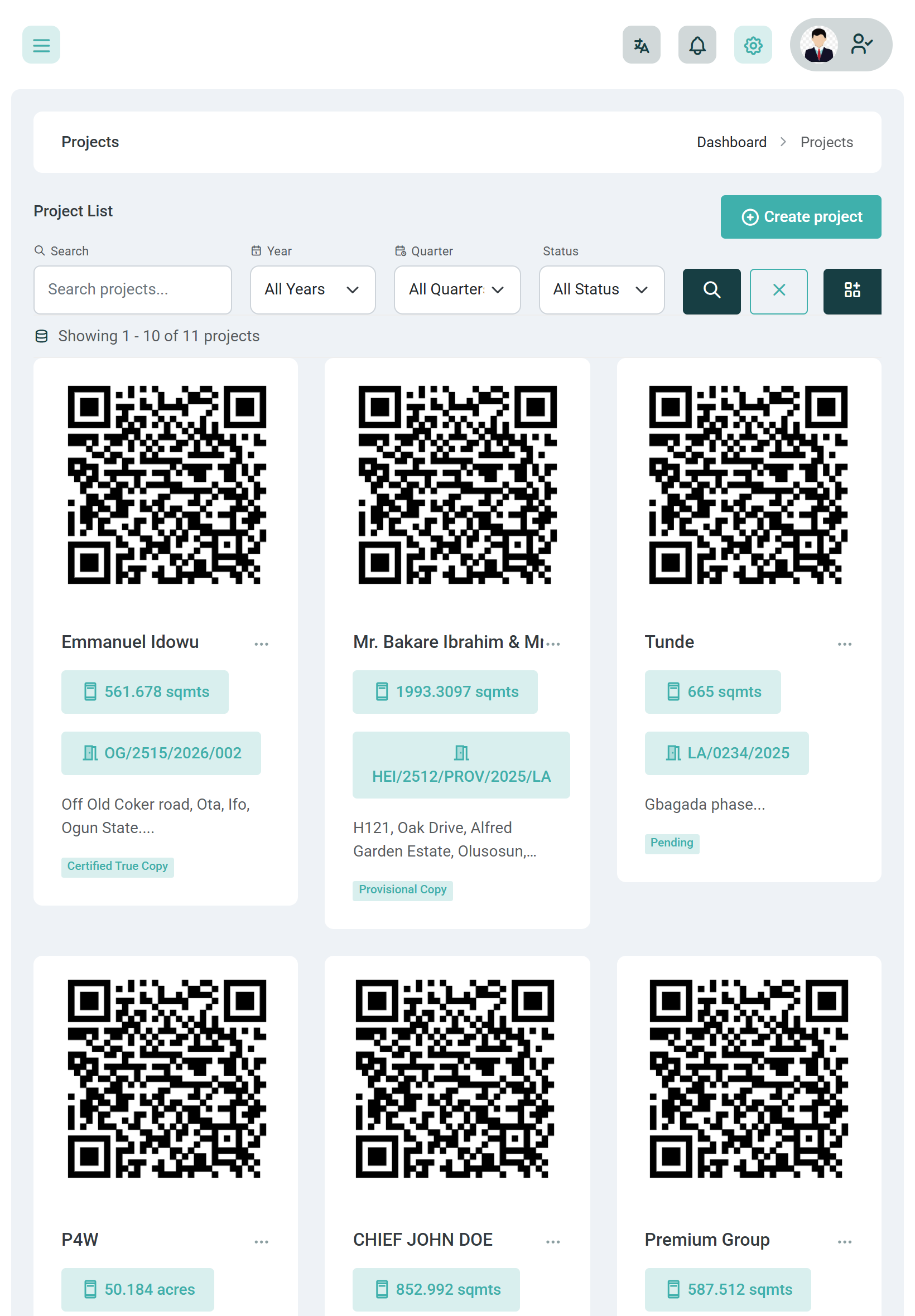
A survey plan contains information about a real piece of land, but once the document is printed, downloaded, or shared, that connection is easy to lose. People can see the coordinates, but they may still have no simple way to verify the document or find the actual property.
Survey plans move between buyers, sellers, lawyers, banks, developers, and agents as PDFs and printed documents, often far removed from the original surveyor.
When someone wants to confirm whether a survey plan was actually issued by a surveyor or firm, the usual process is to call, message, or wait for someone to confirm it.
A list of Eastings and Northings may precisely describe a property, but most clients and property stakeholders need a much simpler way to understand where the land is and how to get there.
Create and issue the survey plan through your normal Geoflow workflow.
The issued plan receives a unique QR code connected to its digital verification record and survey location.
A buyer, client, lawyer, bank, agent, or other stakeholder scans the QR code with their phone.
The verification page confirms the survey record and provides a direct way to locate and navigate to the property.
Give every issued survey plan a unique QR code that connects the document to its digital record. When someone scans it, they can verify the plan and use the survey location to find and navigate to the property it represents.
Go deeper than a feature list — each capability is built for survey operations in Nigeria.
Give each issued survey plan a unique QR code connected to its corresponding record in Geoflow.
Stakeholders can scan the QR code and access the plan's verification record without having to contact the surveyor first.
Use the survey coordinates behind the plan to help stakeholders locate the property on a map and understand where it sits geographically.
Turn the verified survey location into a practical destination so someone can get directions to the property directly from the verification experience.
Give clients and property stakeholders a single link between the survey document, its verification record, and the physical land it represents.
Give every issued plan a digital verification path and make it easier for clients to locate the property you surveyed.
Scan the survey plan to verify the record and get a direct way to locate the property before making a decision.
Share a property with a survey-backed verification experience instead of sending clients a survey plan with no easy way to understand its location.
“Our clients no longer have to ask us where the property is every time they receive the survey plan. They can scan it, verify it, and find the location themselves.”
Give every issued survey plan a digital verification path that connects the document to the property it represents.